Failures of spacecraft and launch vehicles pose a significant threat to both terrestrial infrastructure and human safety. With the exponential growth in planned satellite launches, this risk becomes even more pronounced.
As part of a collaborative project initiated by the European Space Agency (ESA), Share My Space, Quasar Science Resource, DLR and LuxSpace are spearheading the development of an innovative software model. This model is designed to simulate the impact of space operations failures on both air and maritime traffic.
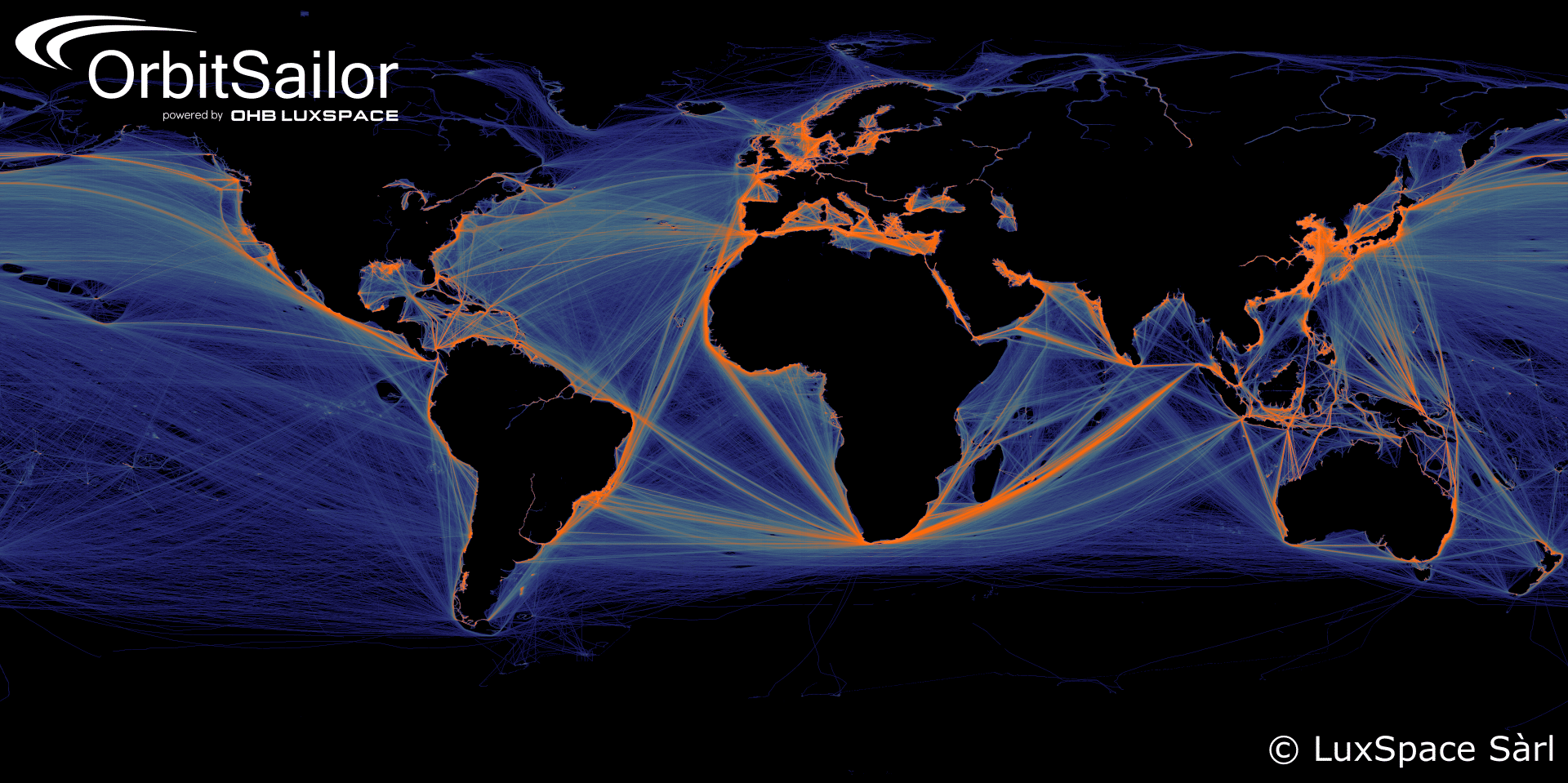
LuxSpace, leveraging its expertise in satellite-based solutions, contributed to the project by providing crucial global vessel density maps. These maps, derived from historical Automatic Identification System (AIS) data, serve as indispensable tools for evaluating the potential risks posed by re-entering satellites or debris to maritime assets. LuxSpace utilized its proprietary OrbitSailor Archive, a comprehensive tool granting access to over 12 years of historical AIS data, to gather maritime information for the creation of the vessel density maps.
These vessel density maps offer invaluable insights into the density and distribution of maritime traffic, aiding in the assessment of potential collisions or disruptions caused by space debris. By utilizing advanced technology and collaborative efforts, the project aims to enhance safety measures for both space and terrestrial activities, mitigating risks and ensuring the sustainable exploration of space.
